


Blue Feather


Transforming today’s cities into tomorrow’s smart cities.


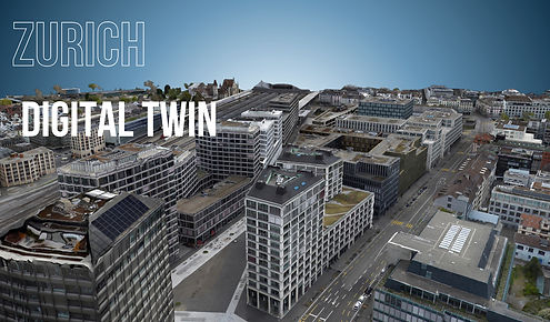
Unlock the future of cities with Blue Feather’s geospatial data and cutting-edge real-time insights. Imagine navigating your town through a hyper-realistic 3D digital twin—equipped with data on urban heat islands, vegetation health, precise measurements, intuitive elevation maps, and light pollution monitoring, all powered by artificial intelligence and machine learning. Fully scalable and seamlessly integrated, Blue Feather empowers your city to become the Smart City of the Future.
Smart City


About US
Blue Feather was founded in 2023 by Alexi with a mission to revolutionize geospatial data for cities. Our goal is not only to build rich digital models and data platforms, but to empower cities to evolve—from the challenges of today to the opportunities of tomorrow—through the power of actionable insights.


imaging technologies

Bluefeather leverages advanced imaging technologies to capture diverse geospatial data. Our solutions include RGB and multispectral imaging across various light spectrums, infrared thermal sensing, laser-based LiDAR scanning, and airborne monitoring to map city carbon emissions and pollution at scale. This comprehensive data suite equips city officials with precise insights to optimize urban planning, enhance infrastructure efficiency, and support smarter decision-making.


