top of page


Lugano Digital Twin
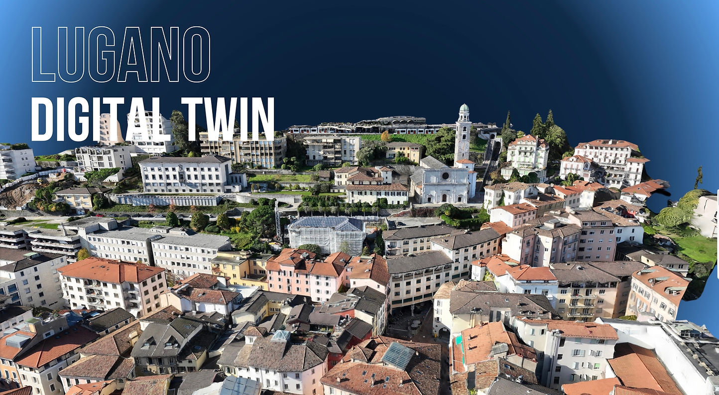
Blue Feather Digital Twin of Lugano delivers a powerful, all-in-one geospatial platform featuring high-resolution 3D models, DTM, DSM, contour lines, plant health analytics, thermal imagery, and 2D orthomosaics. Designed to support engineers, architects, urban planners, and emergency responders, this digital twin enables a deeper understanding of the city's landscape and infrastructure. From assessing vegetation health for sustainable development to detecting urban heat islands through thermal data, it empowers smarter planning, faster responses, and data-driven decision-making—advancing Lugano’s digital transformation and promoting a more resilient, efficient urban future.

Video


Lugano 3D Model
Blue Feather


3D
bottom of page