


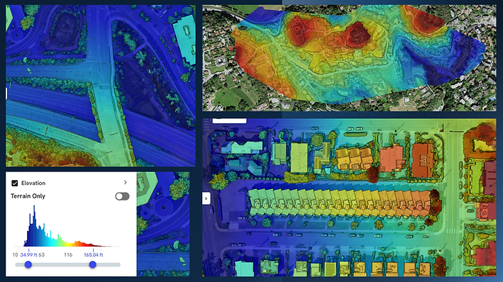
Digital Elevations Model
Blue Feather offers cutting-edge Digital Terrain Models (DTM), Digital Surface Models (DSM), and intricate contour lines in stunning 2D and 3D visuals. DTMs reveal bare earth features, while DSMs showcase all surface elements—ideal for flood modeling and city planning. Navigate these detailed landscapes in real time with our interactive 3D viewer, seamlessly overlaying terrain and structural data for precise insights


Blue Feather offers cutting-edge Digital Terrain Models (DTM), Digital Surface Models (DSM), and intricate contour lines in stunning 2D and 3D visuals. DTMs reveal bare earth features, while DSMs showcase all surface elements—ideal for flood modeling and city planning. Navigate these detailed landscapes in real time with our interactive 3D viewer, seamlessly overlaying terrain and structural data for precise insights

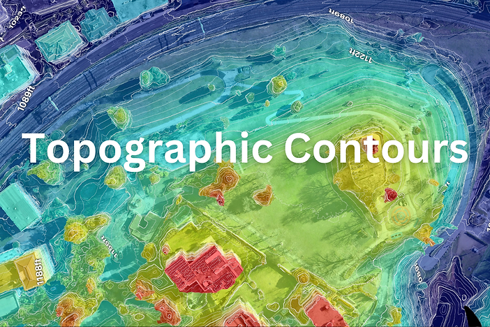
Elevations Maps


